Press
UK weather: Rain set ease for weekend as sunshine returns
Images
1 / 20
2 / 20
3 / 20
4 / 20
5 / 20

6 / 20

7 / 20

8 / 20
9 / 20

10 / 20
11 / 20
12 / 20
13 / 20

14 / 20
15 / 20
16 / 20

17 / 20

18 / 20

19 / 20

20 / 20
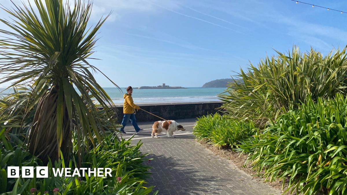
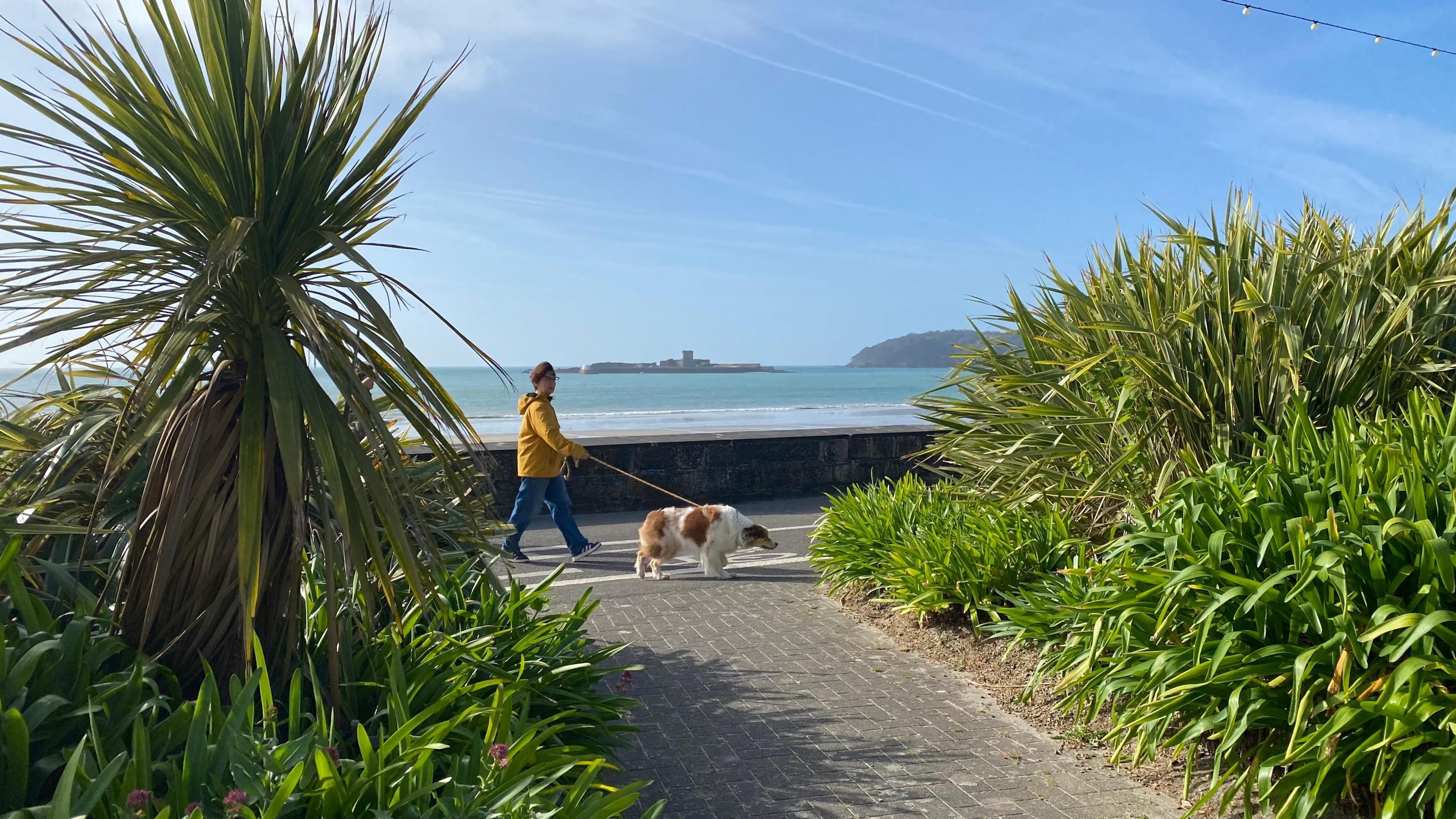
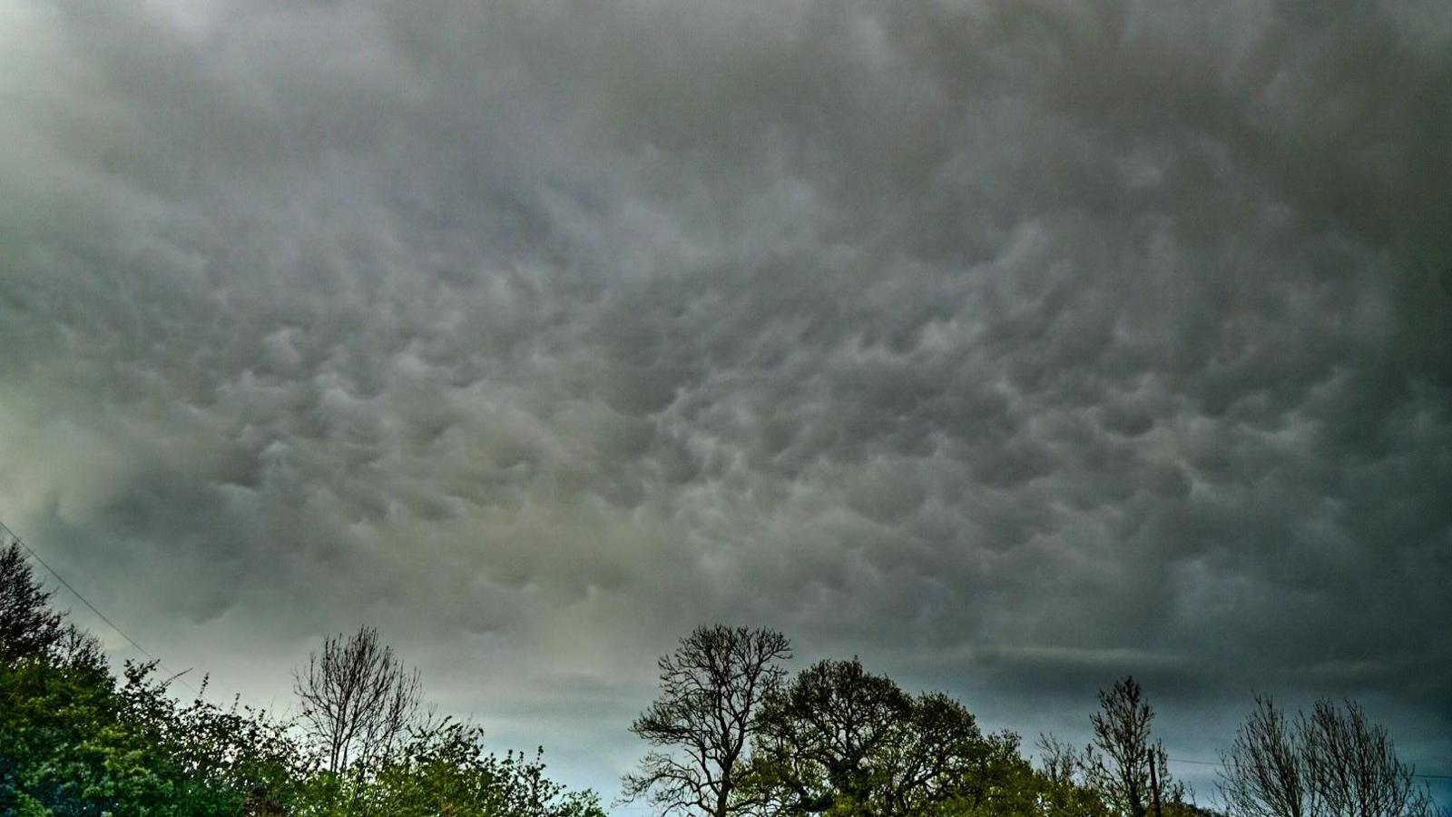
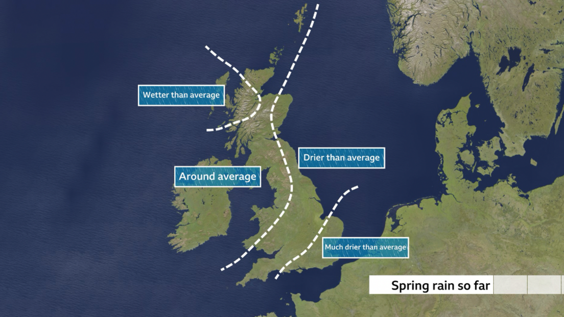
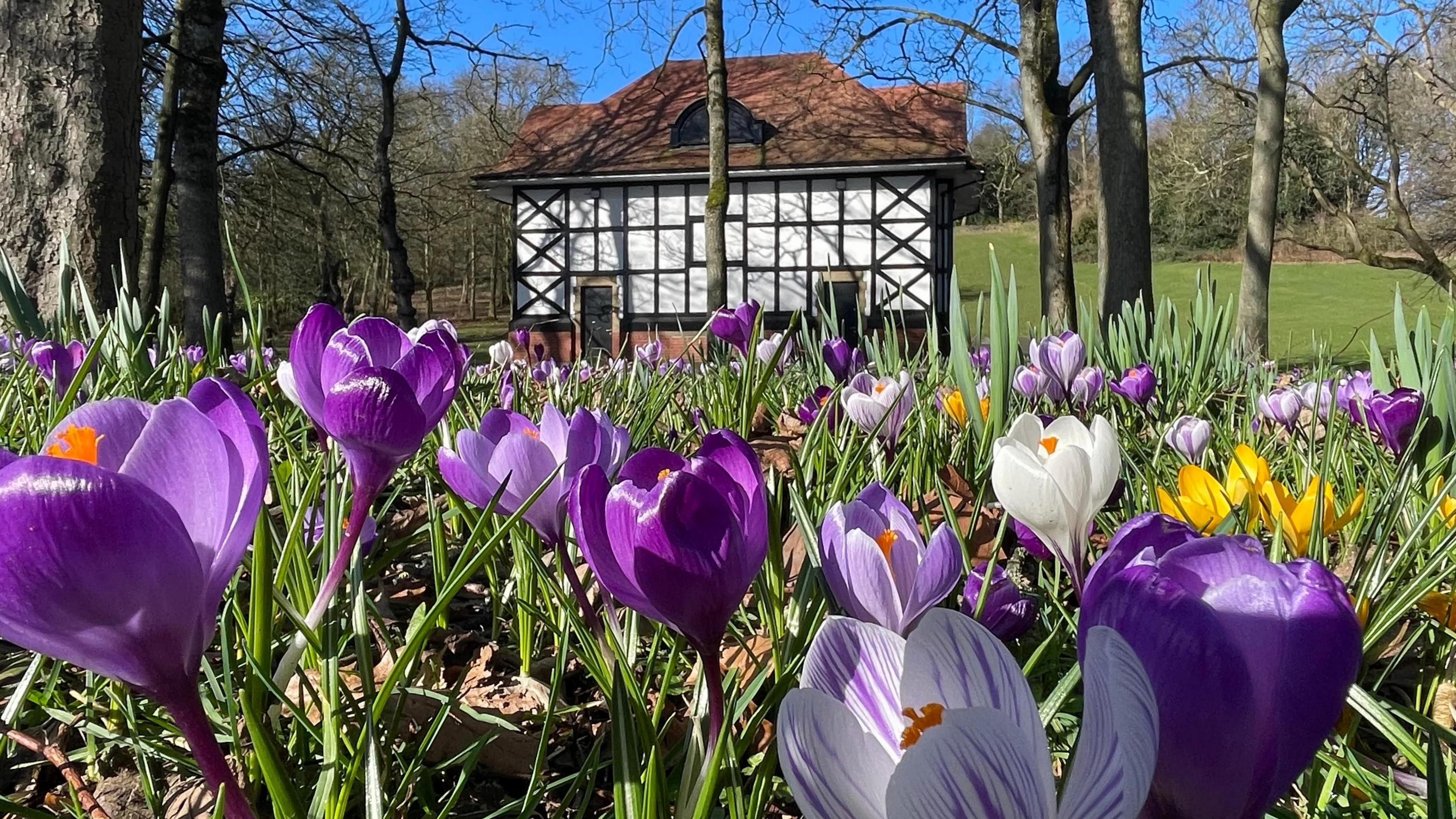
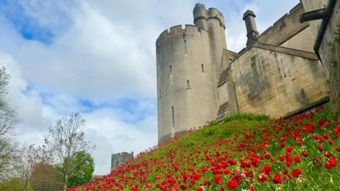
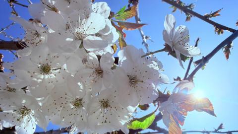
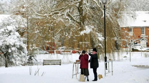
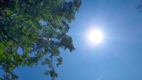
The weather this weekend is looking much more settled than of late with the return of some sunshine for most.

Saturday will be mostly dry with sunny spells with lots of sunshine on Sunday as high pressure moves in.

Temperatures may be just a bit above average at 11-16C but with the strengthening spring sunshine and light winds it will feel very pleasant for many.

This more settled weather comes after some pretty typical April conditions over the last few days with a mix of sunshine, showers and even thunderstorms giving BBC Weather Watchers plenty of interesting weather to photograph including lightning, mammatus - an unusual type of thunderstorm cloud and double rainbows.

Unusual mammatus cloud spotted in Warwickshire on Wednesday.  The threatening bulges of cloud indicate a lot of turbulence in the lower part of a cumuluonimbus - thunderstorm - cloud

These calmer conditions look likely to last into next week.

Whilst there will be some cloud at times, for most there will be some brighter or sunnier interludes with temperatures in the low to mid-teens.

Despite April showers having been dominant for most over the last few days, rainfall across spring so far has varied hugely across the UK.

In April some places in the south-east of England have had barely any rain compared to some areas in western Scotland which have exceeded their average April rainfall already despite only being mid-way through the month.

What you need to know about hayfever season

Oldest known meteor shower to light up UK skies this week

Rainfall through out the spring so far has varied from wetter than average in the west of Scotland to much drier than average in south-east England

Our analysis of rainfall data shows that parts of East Anglia and the south-east of England have been very dry.

Across the county of Essex, around a fifth of the rain we'd usually expect by this time in spring has actually fallen.

In the month of March, rainfall was broadly below average in eastern and south-east England, April has started even drier.

According to Met Office data, between 1 - 14 April there has only been 4.5mm of rain compared to the average of around 20mm for the time of the year

In contrast, Western Scotland has had around double of its normal April rainfall so far.

During March things were broadly average across Scotland but a succession of weather systems in April has brought a lot of rainfall.

Looking just at April, an average of 70mm fell across the whole of Scotland compared to the 40mm you'd usually expect at this stage of the month.

While a lot can change in the second half of spring, the mostly dry weather is likely to continue into next week.

Droughts and hosepipe bans featured widely in 2025 after the driest spring in 50 years and the hottest summer on record.

But in late March 2026 - after one of the wettest winters since 1836 - the Environment Agency confirmed that eastern England the last region still in 'recovery' to 'normal' conditions.

Spring is 'fastest-warming' season in the UK

Is a 'Super El Niño' on the way and how will it affect the UK?

Weather for the week ahead

Comments can not be loaded

To load Comments you need to enable JavaScript in your browser